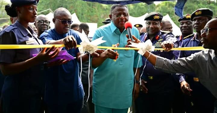
Cross River State Governor Bassey Otu officially flagged off the hydrographic, geophysical, and geotechnical survey for the Bakassi Deep Seaport Integrated Project on Saturday, marking a significant step towards the realization of the dream of building the Bakassi Deep Seaport.
The ceremony took place first at the NNS Victory Base in Calabar, and then on the high seas, near Parrot and Tomshot Islands in the Cross River waterways, where the survey will take place.
- The hydrographic geophysical and geotechnical survey, which is handled by the National Hydrographic Agency and is expected to last for about four months, will provide critical data on soil composition, water depth, and other geotechnical parameters needed for the construction of the port, ensuring its structural integrity and functionality.
Flagging off the survey, the Governor said the watershed event marks “a major milestone in the economic and social landscape of Cross River State and depicts the importance his administration places on the economic revitalization agenda.”
The Governor noted that the flag-off exercise came on the heels of the recent stakeholder engagement, which outlined the project’s engagement path with communities in the project’s area of influence, specifically regulators, maritime security interests, host communities, media, financiers, investors, the public sector, civil society, youth groups, traditional institutions, and religious leaders, noting that the milestone event takes stakeholders closer to the realization of the Bakassi Deep Seaport dream.
He noted that Cross River State has a strategic coastal location and is blessed with a rich blue economy, with all the accompanying aquatic resources.
“The development of the Bakassi Deep Seaport has therefore become imperative and is justified considering the need to increase port capacity in the country and within this corridor on the one hand, and to alleviate current port congestion and make Nigeria the trans-shipment hub in the sub-Saharan Africa region.”
“This flag-off of the hydrographic geophysical, and geotechnical survey for the Bakassi Deep Seaport signals a pivotal moment for Cross River State and a step forward in the march towards the actualization of this dream project,” he remarked.
He thanked the Nigerian Navy, the Chief of Naval Staff, Vice Admiral Emmanuel Ikechukwu Ogalla, the Federation’s Chief Hydrographer/CEO of the National Hydrographic Agency, the AFREXIMBANK, ARISE-IIP, and a host of others for the trust and partnership to deliver the task at hand and bring the dream of the deep seaport to reality.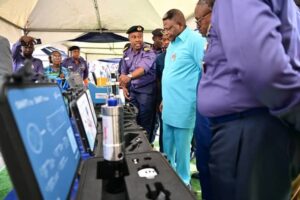
“The beginning of this survey phase today is evidence of these collaborations. We are using state-of-the-art technology and knowledge to ensure the survey satisfies international standards by working with the National Hydrographic Agency. Additionally, this collaboration has been economical, saving the residents of Cross River State billions of naira while producing excellent outcomes. The Bakassi Deep Seaport will symbolize the remarkable achievements that are possible when we unite behind a shared vision.
“Secondly, the project will revolutionize Cross River State, transforming it into a hub of economic prosperity and technological innovation. Beyond facilitating trade, it will support industries such as manufacturing, logistics, and tourism, uplifting communities and positioning our state as a leader in Nigeria’s economic resurgence.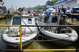
“At the national level, the project’s impact will extend beyond Cross River to neighboring states and sub-regional economies, as they will share in the prosperity it generates. By enhancing trade, fostering connectivity, and creating shared opportunities, we are laying the foundation for the collective economic growth of these regions.
In his goodwill message, the Chief of Naval Staff, Rear Admiral Emmanuel Ikechukwu Ogalla, represented by Rear Admiral Saheed Adeshina Akinwade, averred that the flag-off ceremony for the hydrographic geophysical, and geotechnical survey for the proposed Bakassi Deep Seaport marks the start of an ambitious and transformative project that has all the trappings to reshape the entire Gulf of Guinea.
He, on behalf of the Nigerian Navy, extended gratitude to Governor Otu for his visionary leadership and unwavering commitment to creating economic opportunities for the people.
“The maritime domain serves as a lifeline for commerce, security, and national prosperity. It is essential for fostering economic growth. It is through well-protected and well-charted waters that nations like Nigeria can fully harness the potential of their coastal resources. Therefore, this project is not only crucial to the economic future of Nigeria but to the entire sub-Saharan Africa,” the FOC said.
Earlier in his keynote address, the Federation’s Hydrographer and Chief Executive Officer of the National Hydrographic Agency, Rear Admiral Ayo Olugbode, articulated that the geophysical and geotechnical survey for the Bakassi Deep Seaport project kick-started today marks a milestone not just for Cross River State but the entire nation.
He maintained that the project represents a bold and determined step towards unlocking the immense potential of our maritime domain for socio-economic development.
“I wish to extend my deep appreciation once again for championing a transformative initiative that is not just in building a seaport but in driving the growth of maritime trade in the entire sub-region. I also want to commend the Nigerian Navy for their unwavering support in ensuring the security and operational success of this project,” he noted.
The Surveyor General of Cross River State, Mr. Patrick Bassey, and the Senior Special Adviser to the Governor of Cross River State on International Cooperation and Investments, Reverend Victor Edet, also spoke at the event, restating the present administration’s commitment to bringing the project to fruition.
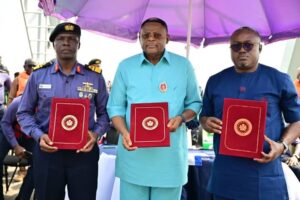
The high point of the event was the signing of the memorandum of cooperation between the Cross River State Government and the Nigerian Navy. The Governor also took time to inspect some of the state-of-the-art equipment that is to be deployed by the Navy for the survey.

